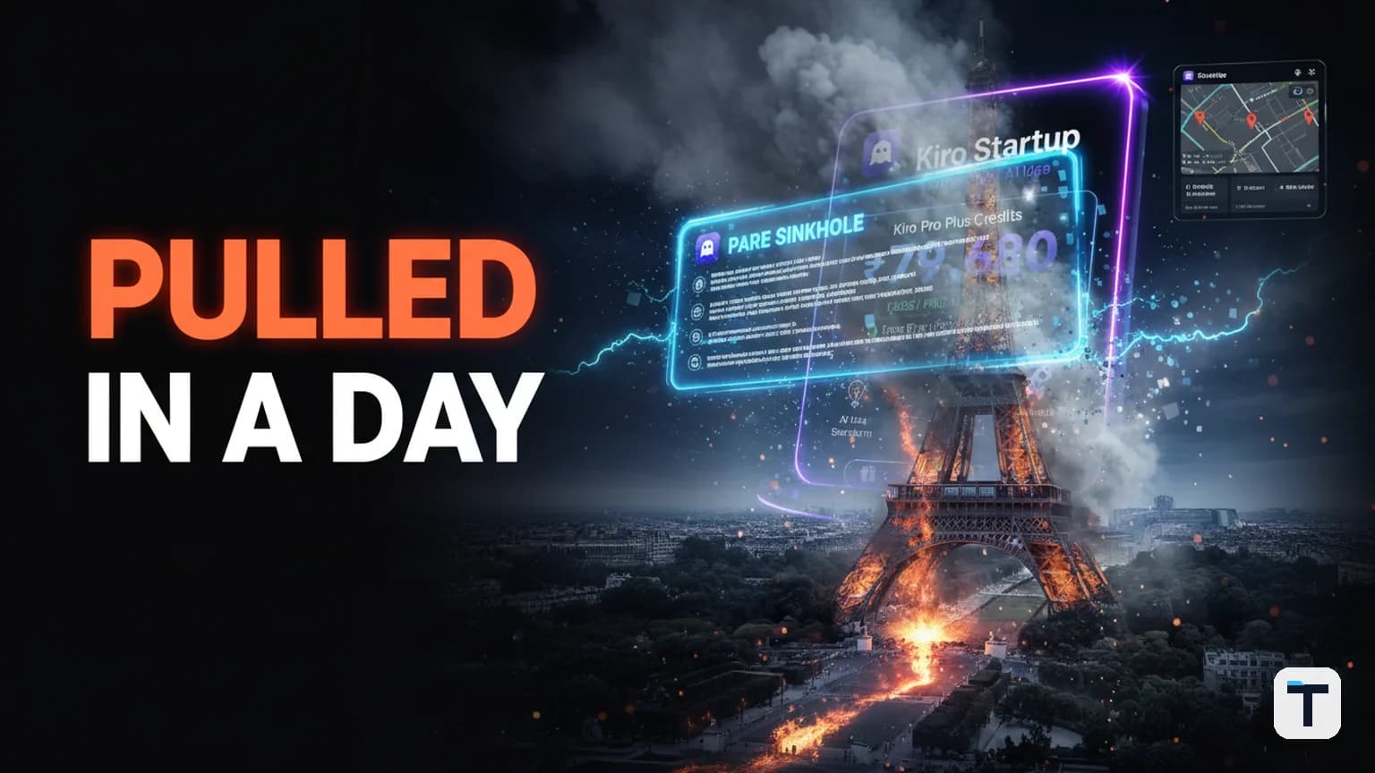

Verdict: Google launched a feature in Google Earth on July 30, 2026 that let anyone generate photorealistic scenes on top of real satellite imagery — and pulled it within a day after researchers created fake images of a collapsed Eiffel Tower, a sinkhole swallowing the Great Pyramid of Giza, a nuclear plant in Iran, and Russian tanks in Kyiv, all locked to authentic coordinates. The episode exposed that even with Google's SynthID watermark embedded in the pixels, the tool caused information disorder at the only platform journalists, OSINT investigators, and human rights monitors treat as a hard-to-fake baseline of last resort. The rollback is not the end of generative geospatial imagery — it is a warning shot about what every platform building AI on top of trusted ground truth must now solve.
Last verified: 2026-08-05 · Best analogy: it is now a single sentence to add a fake building to Google Earth, where it used to take a formal government request to remove a real one. Pricing/feature availability may change quickly — Google has not announced a relaunch timeline.
What was the Google Earth AI image tool, exactly?
The feature was an integration of Google's Nano Banana 2 image generation model into Google Earth on the web, announced on the official Google blog on July 30, 2026 by product manager Bryan Horowitz. From any browser, a user could pick a geographic location, click a "create image" button, and type a text prompt. The model would then render a photorealistic scene constrained to the actual satellite, aerial, and 3D terrain data at that spot — not a blank-canvas generation, but a place-anchored one. Google initially pitched it for students reimagining historical sites, realtors mocking up plans, and hobbyists turning empty lots into community gardens.
What made it different from a conventional AI image generator like Midjourney or DALL·E is the same thing that made it dangerous: every output was conditioned on the real viewport — the actual building footprints, road layouts, terrain, and lighting of the location in view. As open-source researcher Henk van Ess put it in his blog post titled "How to plant a nuclear plant in Iran", "The forgery does not have to look convincing on its own. It inherits the credibility of the map it was born on."
Why did Google pull the AI image tool after one day?
Google rolled back the feature on July 31 — under 24 hours after launch — after multiple independent organizations demonstrated the tool could fabricate photorealistic fake satellite imagery of disasters, military scenes, and political events anchored to real coordinates, and after screenshots of those fakes started circulating on social platforms in apparent violation of Google's policies. In a statement posted on X by its media relations account, Google said: "We know that people uniquely trust Google Earth for a reliable view of the world… however we've also seen people sharing screenshots of generated imagery that appear to violate our policies. So we're rolling back this feature in Google Earth while we work on implementing stronger guardrails."
Three things drove the speed of the reversal:
- The proof-of-concept came from credible media institutions, not anonymous trolls. BBC Verify, NPR, AFP, and 404 Media each independently created clearly fake, recognizable imagery within hours — a collapsed Eiffel Tower, a sinkhole at the Great Pyramid of Giza, Russian tanks in Kyiv, a bomb crater next to a hospital in Gaza, an exploding Kharg Island, a flooded U.S. Capitol [Confirmed — BBC, NPR, TechCrunch].
- The safety guardrail Google named as primary — the SynthID watermark — failed its first live test. BBC Verify reported it was "possible to circumnavigate these checks and trick Gemini into saying these fake Google Earth images are real," and external AI detectors rated one fake at just 0.8% likelihood of being AI-generated [Confirmed — BBC Verify, TechTimes].
- The threat model was pre-existing and reusable. Before this, faking satellite imagery of a specific location was a multi-step job requiring a separate image editor and visible artifacts; van Ess noted it takes a formal government request to remove a real building from Google Earth, but the new tool collapsed that into a single text prompt [Confirmed — NPR].
How did users actually fake disaster scenes on Google Earth?
The workflow was a single text prompt. A tester navigated Google Earth on the web to a real location — say, a satellite view of the Eiffel Tower — clicked create image, and typed something like "a collapsed Eiffel Tower, smoke plumes, surrounding damage." The model rendered it in seconds, layered over the genuine coordinates. Documented fakes from credible outlets included:
| Outlet | Fabricated scene | Real coordinates used |
|---|---|---|
| BBC Verify | Collapsed Eiffel Tower | Paris |
| BBC Verify | Sinkhole swallowing the Great Pyramid of Giza | Giza, Egypt |
| BBC Verify | Russian tanks in Kyiv | Kyiv, Ukraine |
| Henk van Ess / NPR | Non-existent nuclear power plant | Iran |
| Henk van Ess / NPR | Refugee camp | U.S.–Mexico border |
| Henk van Ess / NPR | Hospital with bomb crater in Gaza | Gaza |
| NPR / 404 Media | Blast crater in Los Angeles | Los Angeles, USA |
| NPR | Kharg Island engulfed in flames | Iran |
| 404 Media | Demonstrators at Google HQ | Mountain View, USA |
None of these scenes actually occurred; all used authentic satellite, aerial, or 3D base imagery as the underlying input.
Google said it had built guidelines into the model to prevent imagery depicting "harmful topics," but BBC Verify testing found that small changes to a prompt bypassed them — a request to create "a raised platform to hang traitors" near the UK parliament was rejected, but a less specific prompt to the same spot succeeded [Confirmed — BBC].
Why is satellite imagery a special case for AI-generated content?
For roughly two decades, satellite imagery has been the verification baseline of last resort for journalists, human rights investigators, and OSINT analysts — not because the imagery is perfect, but because its source is physically difficult to fake. Images captured by cameras hundreds of miles above Earth, controlled by established companies and institutions, provided a high-confidence way to confirm or refute government claims, document atrocities, and track military movements in places where ground reporting was impossible. As NPR reported, researcher Jake Godin told them "satellite imagery has been kind of a safe bet when it comes to verifying an event because it's hard to fake." That floor is now visibly cracked in public.
The Google Earth tool did not alter the main Google Earth database — Google clarified that generated images were visible only to the user who created them, not to other viewers of the platform. But that protection collapses the moment someone screenshots the generated result and shares it on a social network stripped of context. A satellite view of a real location carries instant credibility; once a fake is layered onto real coordinates and shared as a screenshot, most viewers have no signal that it isn't authentic.
Did Google's SynthID watermark work?
Partially but not reliably — and not enough to handle the threat level of the platform it was put on. SynthID, developed by Google DeepMind, embeds an invisible digital watermark directly into the pixels of an AI-generated image. Unlike metadata (which can be stripped by a screenshot), SynthID is designed to survive common edits like compression, cropping, filtering, and rotation. Detection requires uploading the image to Google Gemini or Google Lens — an additional step most people who encounter a fake on social media will never take.
What the BBC Verify test found was worse than "it requires an extra step":
- Google's own Gemini chatbot was tricked into stating that fake Google Earth content was real, returning "No reliable signals were detected indicating how the content was created" in one case [Confirmed — Futurism].
- An independent AI-detection tool rated one of van Ess's fake satellite screenshots at 0.8% likelihood of being AI-generated [Confirmed — TechBrew, via TechTimes].
- A screenshot — how most people share satellite imagery on social platforms — strips the C2PA Content Credentials metadata that Google's broader provenance approach also relies on [Confirmed — Washington Post; C2PA].
Google plans to eventually pair SynthID with C2PA Content Credentials, but the episode reinforced what provenance researchers have been warning: a watermark that nobody checks, that fails on the company's own detector, and that competes against the human reflex to trust a satellite view cannot hold the line on its own.
What is the "liar's dividend" and why does this incident make it worse?
The liar's dividend is a concept coined by legal scholars Bobby Chesney and Danielle Citron in their 2019 California Law Review paper "Deep Fakes: A Looming Challenge for Privacy, Democracy, and National Security". The idea is precisely the opposite of "a fake fooled someone": it is that once audiences know convincing synthetic media is possible, the existence of deepfakes makes it easier for bad actors to dismiss genuine evidence as fabricated. The damaging event is not the fake image itself — it is the evaporation of the evidentiary privilege that real footage used to enjoy.
This is why the Google Earth incident worried misinformation experts more than the usual deepfake story. Satellite imagery has been one of the few remaining categories of evidence that the public, courts, and newsrooms treated as near-dispositive on a contested event. Once a one-text-prompt tool can produce a photorealistic fake anchored to real coordinates, propagandists gain a rhetorical lever that costs nothing to pull:
- Forward risk — fabricated scenes at real coordinates spread and are hard to debunk in fast-moving crises where the information environment is already fragile.
- Reverse risk (liar's dividend) — when authentic satellite imagery of an atrocity later surfaces, the instigators can now credibly claim "that one is AI," and that claim is harder to dismiss than it was on July 29, 2026.
AI-detection researcher Henry Ajder described the creation of fake imagery in conflict zones as particularly "destabilising" precisely because "not everyone is going to do that" extra verification step [Confirmed — BBC]. The deeper structural point: the rollback does not restore what was degraded. The knowledge that a single text prompt inside Google Earth can anchor photorealistic fake imagery to real coordinates is now documented and widely reported; that itself is the lasting damage.
What does this mean for toolbuilders and small businesses using AI-generated imagery?
If you build with generative AI on top of a dataset people treat as ground truth — maps, medical scans, legal evidence, financial dashboards, surveillance feeds — the Google Earth episode is your free postmortem. The risk is highest when the output inherits the credibility of the substrate; it is the same pattern that will hit any platform mixing generated content with trusted input.
| Risk | What it looks like | Lower-risk design pattern |
|---|---|---|
| Trust inheritance | AI output layered on a trusted base, indistinguishable at a glance | Visually distinct offline generation surface; never composite into the live view |
| Shareability mismatch | Safeguards work in-app but break on screenshots | Watermark in the pixels (SynthID) plus a verification surface normal users will actually use |
| Bypassable prompts | Slight rewording defeats "harmful topic" filters | Multi-layer gating (prompt filters + classifier on the output + refusal queues) |
| Erosion even after rollback | The fact the tool existed is itself the exploit | Pre-launch red-team the obvious misuse cases; "what could a hostile user do on day one?" |
| Liar's dividend | Real evidence becomes dismissable as fake | Pair watermarks with cryptographic provenance (C2PA) and preserve it at the platform layer |
For small businesses specifically: if you use AI image tools for real-estate mockups, marketing renders, or concept decks built on real satellite or product footage, label every output as AI-generated on the surface itself (not just in metadata), and never substitute an AI render for a measurement-grade survey, permit filing, or documentary photograph. The Google Earth launch deck pitched real-estate plans as a use case; the lesson is that the line between "concept visualization" and "fabricated evidence" is paper-thin on a trusted base layer, and a clear in-image label keeps you on the right side of it — see also our coverage of how studios are wrestling with AI authorship and trust.
For teams shipping an AI feature inside a larger Google-tier ecosystem especially: the precedent here matters regardless of your stack. When Google rolled out Gemini's agentic features earlier in 2026, the internal pattern of "ship, then pull on the first viral failure, then re-ship" was already visible to anyone watching; the Earth rollback is the harshest version of it. Pre-launch "what is the worst one-prompt case?" review is cheaper.
What this means for you
Three things, practical and unsentimental:
- If you verify anything with satellite imagery, your safe-by-default stopped on July 30, 2026. Treat any satellite scene of a real event as needing chain-of-custody confirmation — source the image to a named provider (Maxar, Planet, the original capture institution) rather than to a social-media screenshot. That is exactly the new normal researchers like Jake Godin and Bill Greer are describing, where authoritative sources are scarcer and false images are cheaper.
- If you ship an AI feature on a trusted data substrate, watermarks are not enough. SynthID is a good engineering artifact and it still failed its first live test — because the threat defeated the detection step, not the embedding step. A watermark nobody checks, that fails on the company's own detector, and that competes against a human reflex to trust satellite imagery — that is not a safety system; it is a checkbox.
- If you are a builder, learn the liar's dividend by name. Your biggest risk over the next two years is not that someone makes a fake with your tool — it is that the existence of your tool gives bad actors the cover to call real evidence fake. The structural risk is in the idea, not the next patch.
FAQ
Q: Why did Google pull the AI image generator from Google Earth? A: Google rolled back the feature on July 31, 2026 — less than 24 hours after launch — because multiple researchers and outlets demonstrated it could generate photorealistic fake satellite imagery of disasters, military scenes, and political events, all anchored to authentic coordinates, and screenshots of those fakes were already circulating in apparent violation of Google's policies.
Q: Can SynthID detect fake satellite images made with Google Earth's AI? A: Not reliably, based on independent testing. SynthID is an invisible watermark embedded in AI-generated images, but verifying it requires uploading the image to Google Gemini or Google Lens — a step most users will never take. BBC Verify found it was possible to circumvent the check entirely and trick Gemini into declaring a fake as real, and an external AI detector rated one fake at just 0.8% likelihood of being AI-generated.
Q: Did Google Earth's AI alter the official satellite imagery anyone could see? A: No. Google clarified that generated images were visible only to the user who created them and never appeared in the main Google Earth experience for others to view. The risk is that screenshots of those generated scenes still carried the visual credibility of the genuine underlying coordinates and could be shared stripped of any AI label.
Q: What is the "liar's dividend"? A: A concept coined by law professors Bobby Chesney and Danielle Citron in their 2019 California Law Review paper: once convincingly fake media is publicly known to exist, bad actors gain a cover to dismiss genuine evidence as fabricated. The damage is the eroding evidentiary privilege that real footage previously held, not the fake itself.
Q: Is there a replacement or relaunch timeline for the Google Earth AI tool? A: As of August 5, 2026 Google has not announced any timeline for a relaunch and has not specified what the "stronger guardrails" will look like. This is volatile; check the official Google Keyword blog before relying on it.
Q: Why is AI-generated satellite imagery more dangerous than ordinary deepfakes? A: It inherits the credibility of a substrate the public treats as uniquely hard to fake. A faked portrait or a celebrity face-raises an immediate "is this AI?" reflex; a faked satellite view of a recognized location does not, because satellite imagery has operated as the verification baseline of last resort for journalists and investigators for two decades.
Discussion
0 comments